Part One
Introduction
We all have limited resources. For most of us, both time and money probably top that list. As a result, we are always making decisions, both explicitly and implicitly, about how to allocate those resources. How many of us dream about unique, off-the-beaten-path ways that we would like to use our limited time or money? For some, it might be some type of service, for others, perhaps the trip of a lifetime. Sometimes life presents us with opportunities to allocate these precious resources the way we would like, and other times it requires real risk-taking to make it happen. Either way, allocating your resources in a way that allows you to have these epic experiences rarely leads to regret. That was the case for me in the summer of 1990.
A Crazy Idea – Northward Ho!
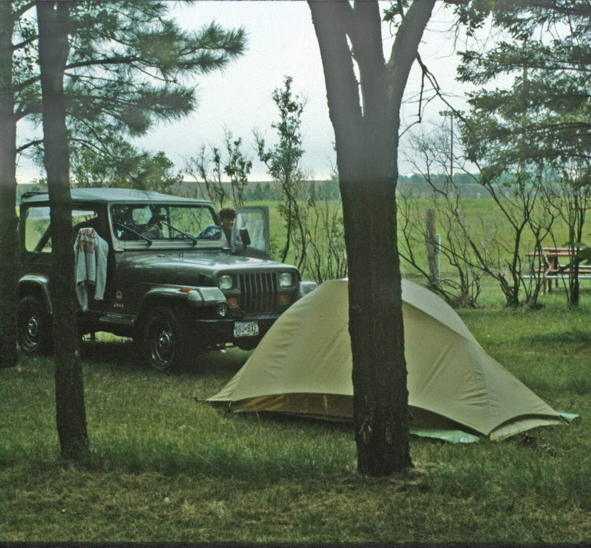
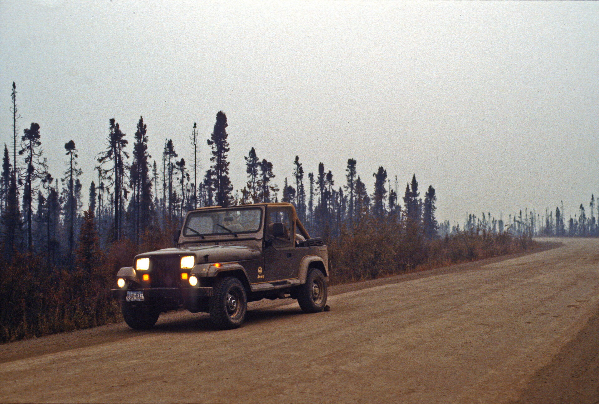
In the winter of 1990, I was accepted into the M.B.A. program at the University of Minnesota beginning the coming fall. Early that spring, I decided I wanted to take an epic trip before I went back to school. I saved as much money as I could, purchased a used 1988 Jeep Wrangler, and quit my job in late June. My plan was to do this on a shoestring budget. I took a cooler for food and camped out with my sleeping bag and tent. So, after the Jeep purchase, my single largest expense for this trip would be gas. Since I intentionally did not plan the details, I wasn’t exactly sure what this trip would be, but I knew it would include driving to Alaska from my home in Minneapolis.
Long Before Google Maps
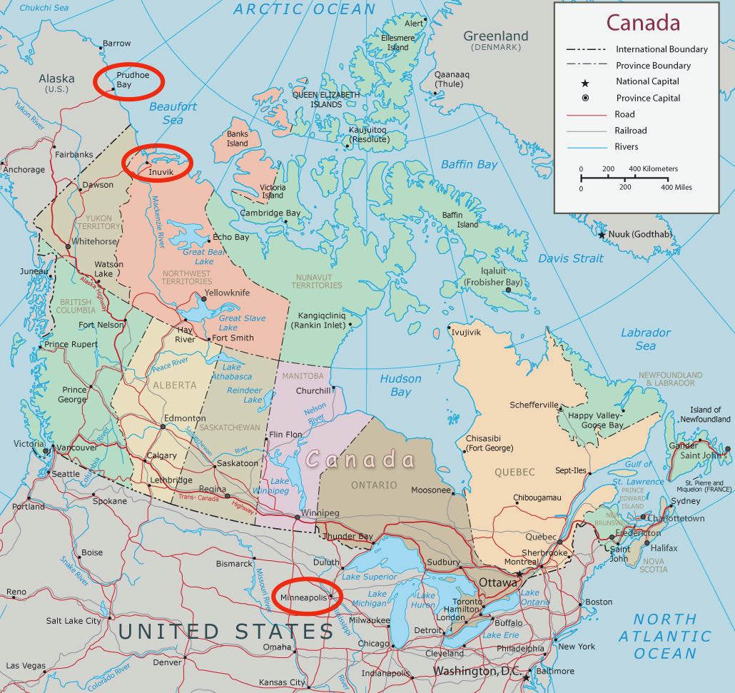
As I studied maps and road atlases (this was many years before Google Maps, or even Google, existed), I decided that I wanted to drive as far north as possible on the North American continent. A quick study of the maps revealed that would be the Alaska Pipeline road to Prudhoe Bay, also known as the Dalton Highway.
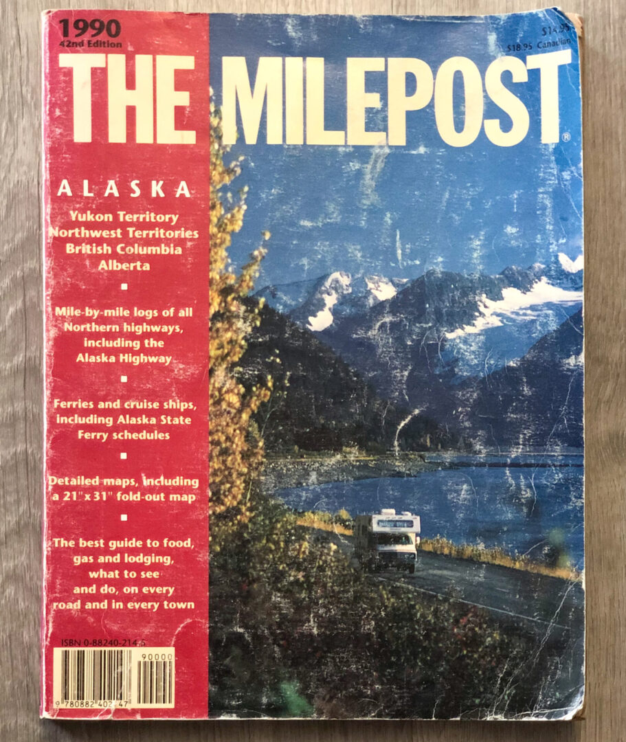
As I began researching the route using the Milepost guide, I discovered that the road was public as far north as a place called Dietrich Camp, about halfway up the 400-mile stretch. Beyond that point, the road was restricted to only commercial and industrial traffic. To travel beyond there, I had to write the Alaska Department of Transportation for a special permit. I quickly decided that a 26-year-old with a ponytail, who wanted to drive that road because it was there, was not likely to get such a permit.
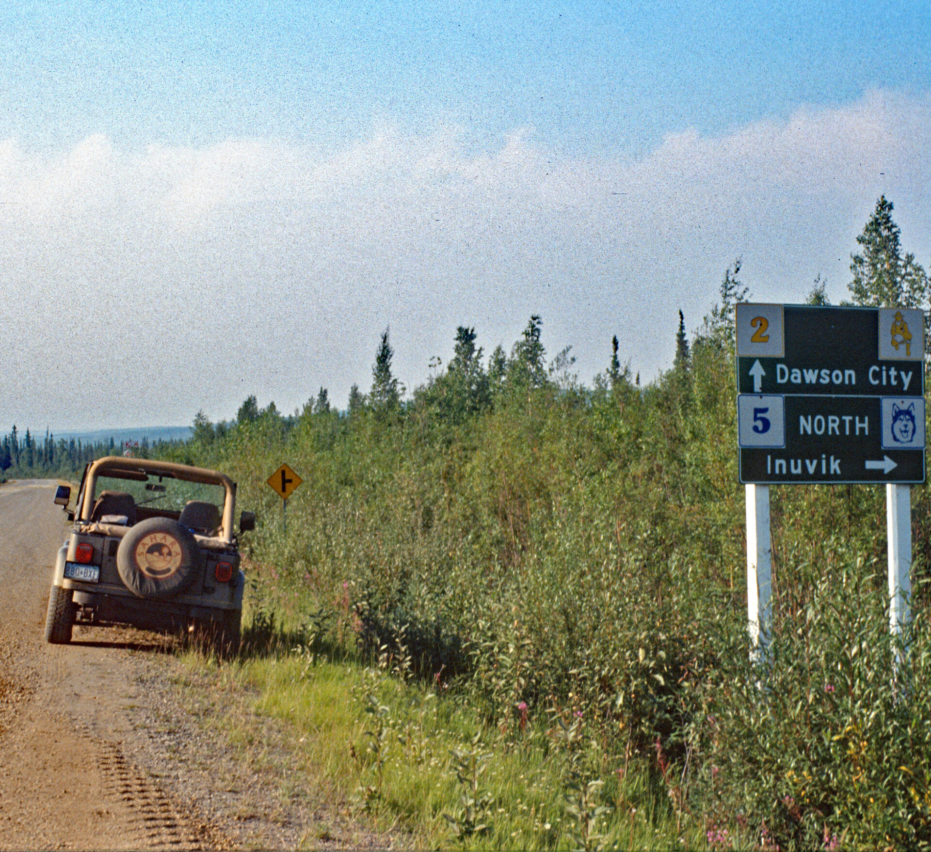
I shifted gears slightly and decided to find the northernmost public road in North America. That turned out to be the Dempster Highway, which was and still is the only other road on the continent that stretches beyond the Arctic Circle. It begins just outside of Dawson City in the Yukon Territory, and extends north 460 miles to the small town of Inuvik in the Northwest Territories.
Inuvik is well north of the Arctic Circle. That means there is a period in late spring and early summer when the sun rises and does not set for at least 24 hours. The farther north from the Arctic Circle, the longer the period when the sun doesn’t set. In the case of Inuvik, the sun rose on May 25th and wouldn’t set until July 20th. My hope was to make it there before that happened.
The Adventure Begins
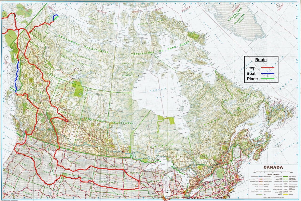
I left Minneapolis on July 11th and followed Interstate 94 across North Dakota and Montana to Glacier National Park. I spent several days hiking, camping, and doing my best to avoid a surprise encounter with a grizzly bear in the backcountry at Glacier. After exiting the eastern side of the park, I headed north and crossed the border into Canada.
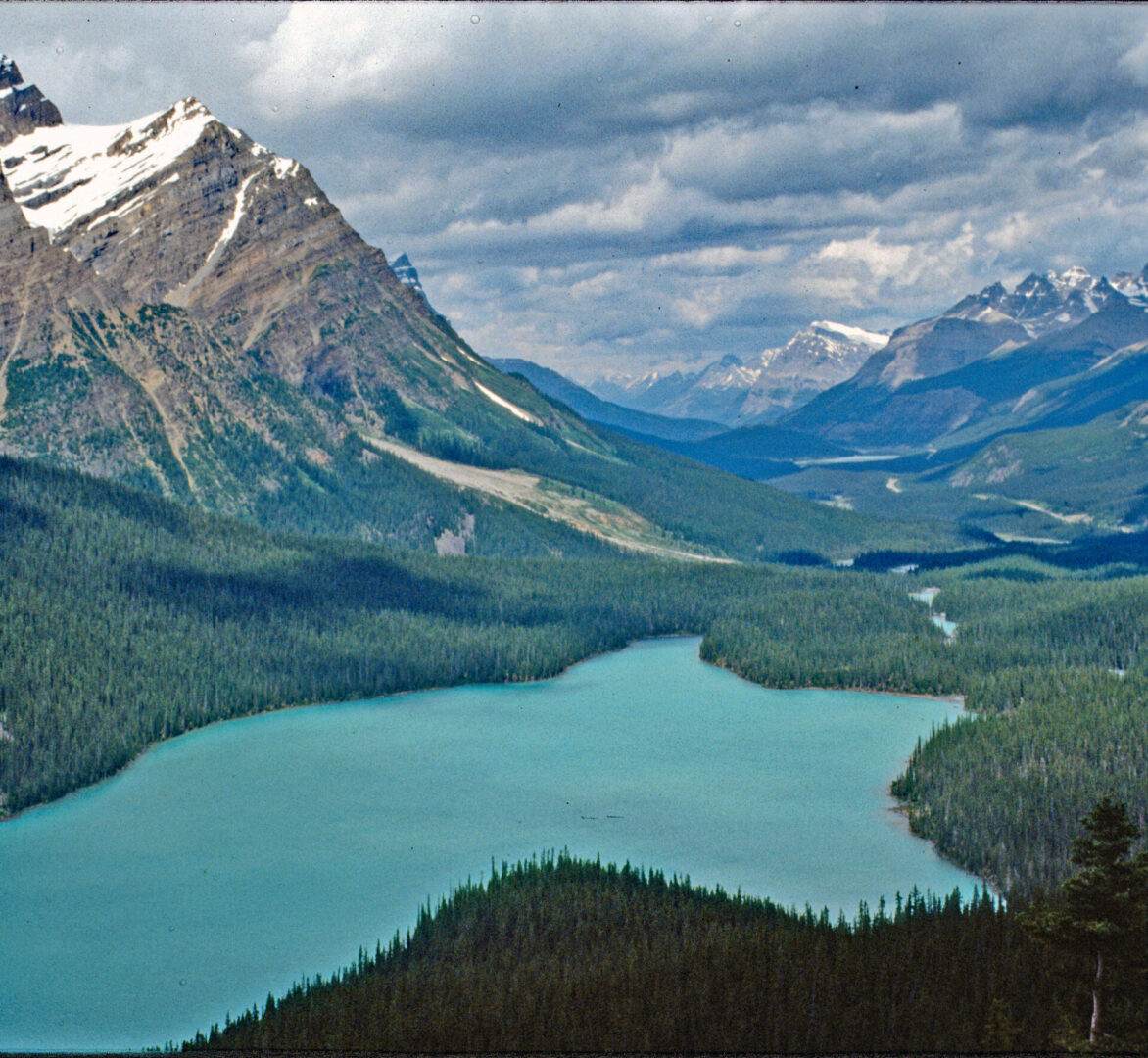
My next destination was Banff and Jasper, two amazing national parks in the Canadian Rockies. Both parks straddle the border between Alberta and British Columbia. Instead of taking the main highway through Calgary, I found a less traveled, back way into the park known as the Forestry Trunk Road.
Going Solo
I spent several days hiking and enjoying the spectacular scenery in the Canadian Rockies. Then I backtracked eastward to Edmonton to drop off my then girlfriend and future wife (she is now my ex-wife, but still a good friend), as she had to fly back to Minneapolis for work. It was now one week into the trip, and for the remaining five weeks I would be solo. I headed a little over 350 miles northwest from Edmonton, Alberta to Dawson Creek, British Columbia to mile 0 on the Alaska Highway.

Into the Yukon Territory
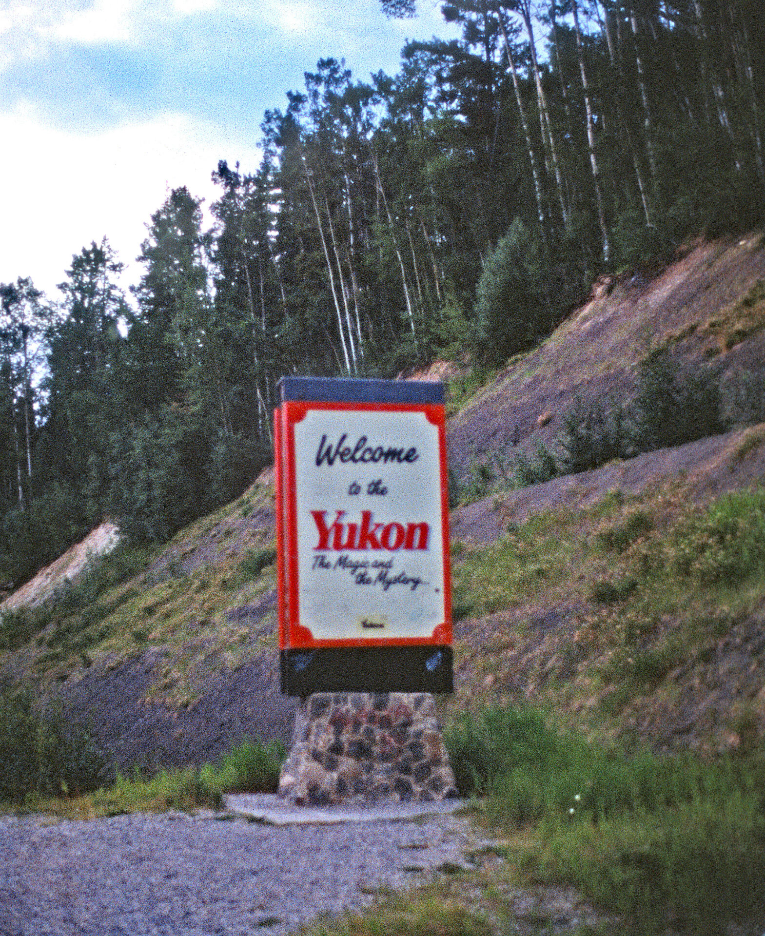
After leaving Dawson Creek, I drove about 600 miles until I crossed over the border into the Yukon Territory and found a campground just beyond the town of Watson Lake. This section of the road was the least developed of the entire Alaska Highway with significant winding, unpaved segments. The unpaved portions made the driving interesting at times as the dust off the road from other vehicles significantly reduced visibility.
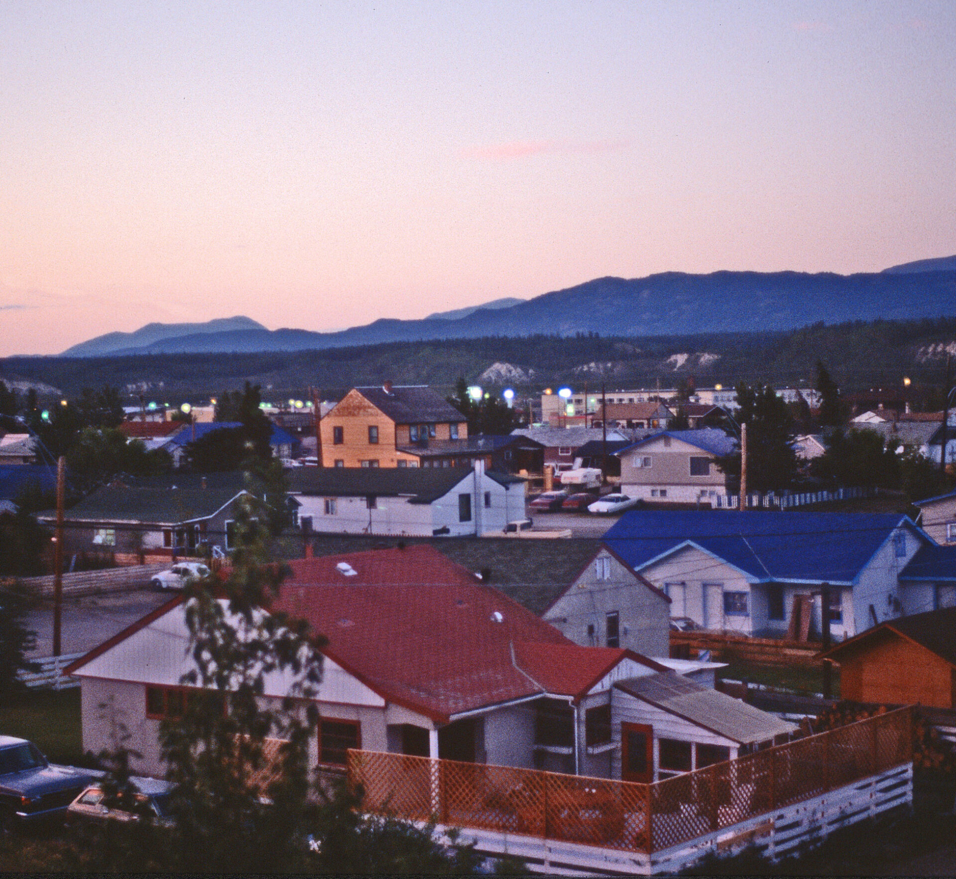
The following day I made it just under 300 miles to Whitehorse, the capital of the Yukon Territory. I decided to splurge a little bit, so I paid C$25 for a night in a bed and breakfast. The sun didn’t set until 11:30pm, and I stayed up late chatting with the proprietor. She warned me that there were several forest fires burning out of control along the Dempster Highway where I was headed. I wasn’t quite sure what to do with that information, so I decided to just stick with my plan to get to Inuvik, unless the road was blocked.
Dempster Highway
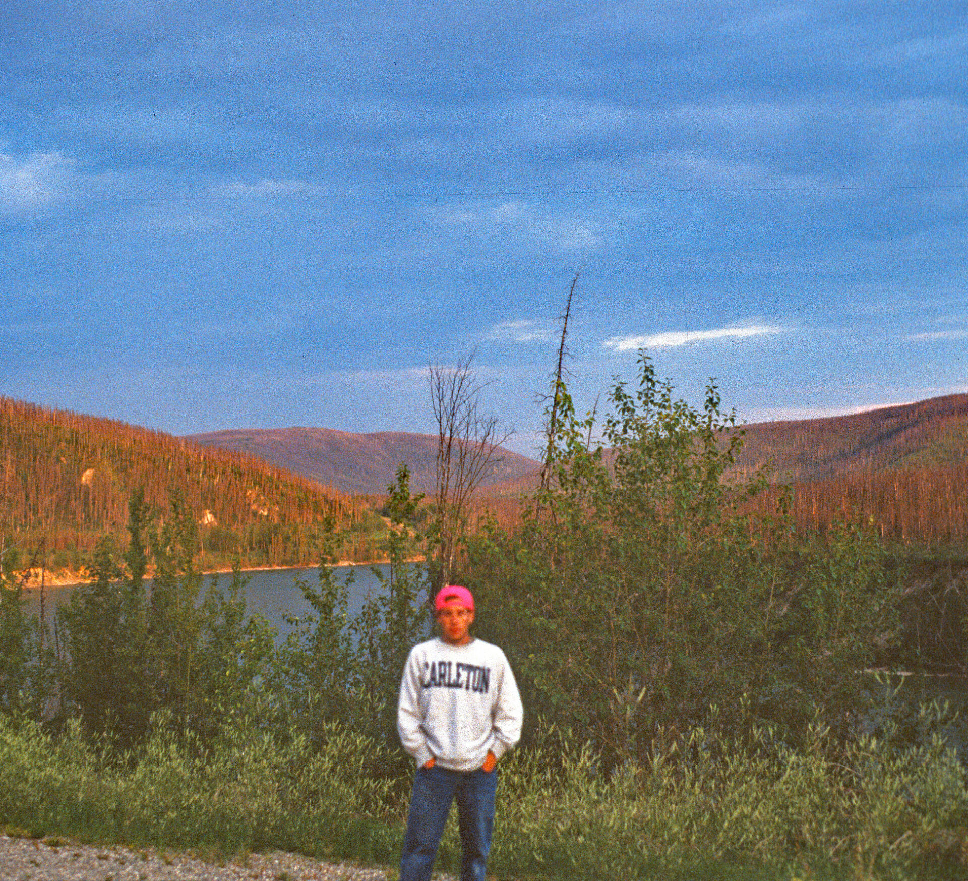
The following morning, I drove out of Whitehorse on the Klondike Highway a little over 300 miles headed to a point just before Dawson City, at mile 0 of the Dempster Highway. The “highway” is gravel piled on top of the tundra, and it ranges from 4 to 8 feet in height above the surrounding ground. It is built that way because digging into the tundra would cause it to melt and sink.
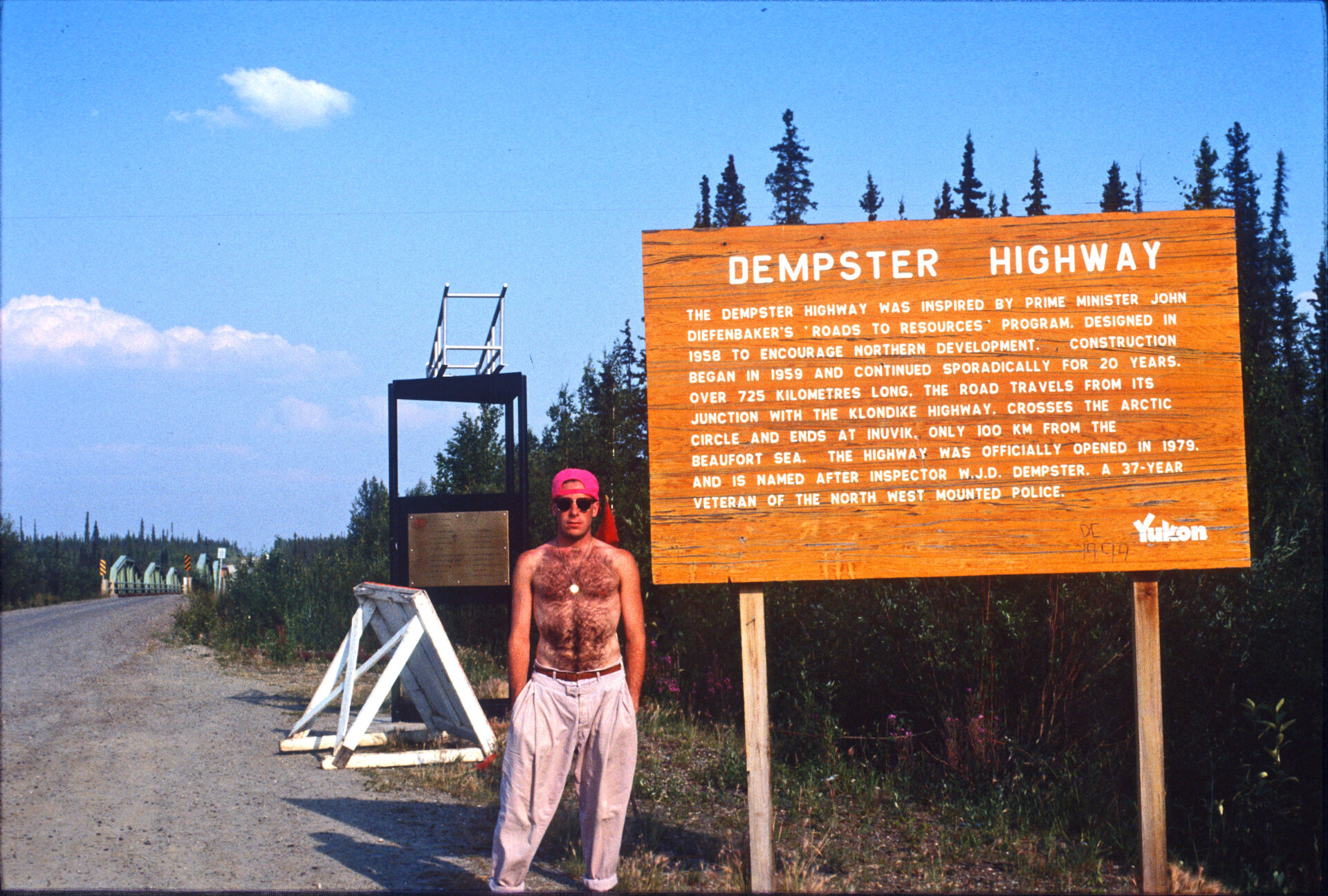
The recommendation is to carry spare gas and two spare tires, neither of which I followed. This is because much of the gravel used for the road is crushed shale, which can be hard on tires as it is jagged and sharp. There is only one place to get gas or aid, 230 miles up the highway at the halfway point. After filling the jeep with gas, and checking every fluid I could think to check, I started up the road at about 6:30 in the evening. My plan was to make it to Eagle Plains, the halfway point, that night.
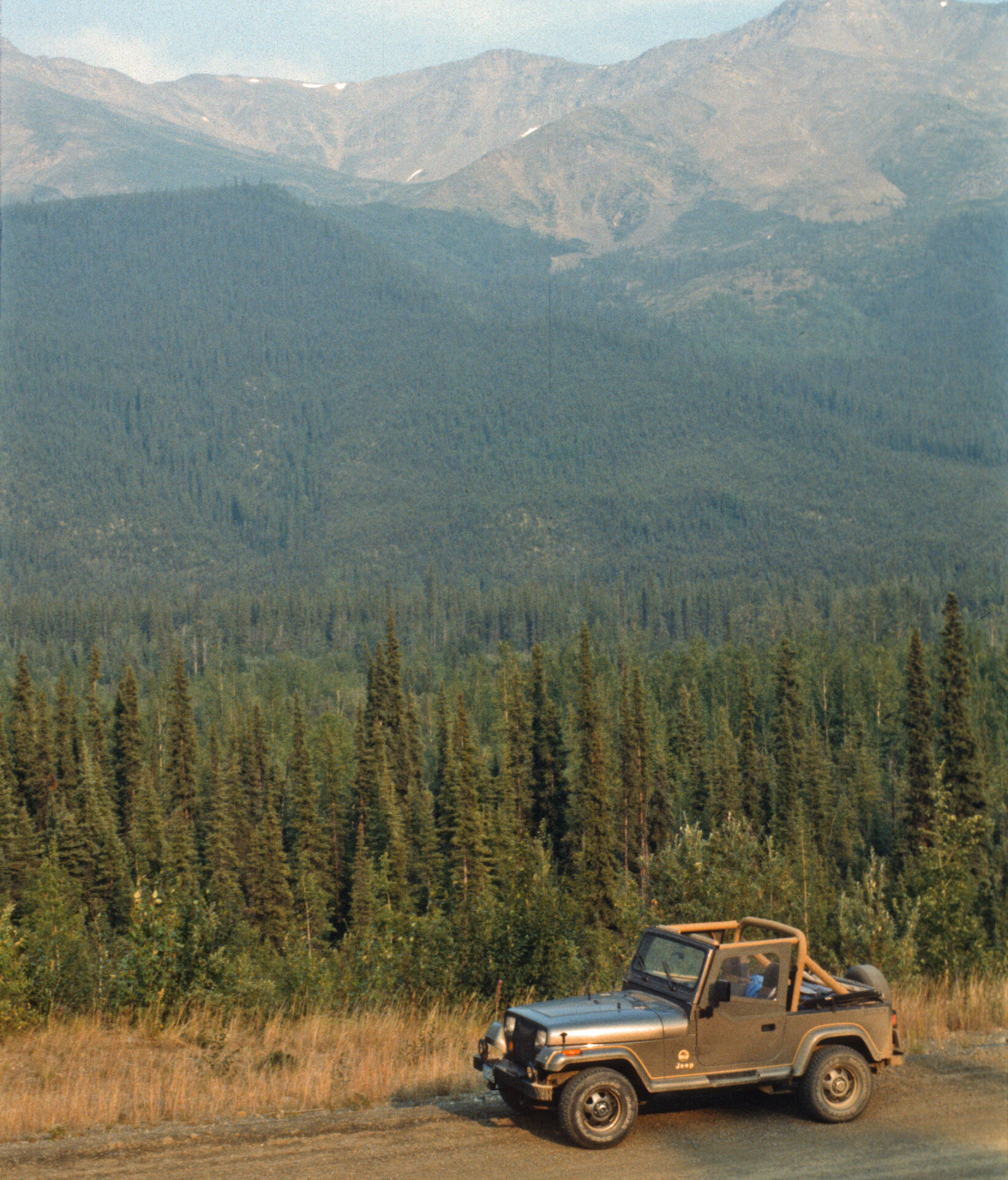
Barren Wilderness and Eagle Plains – Halfway Point on the Dempster Highway
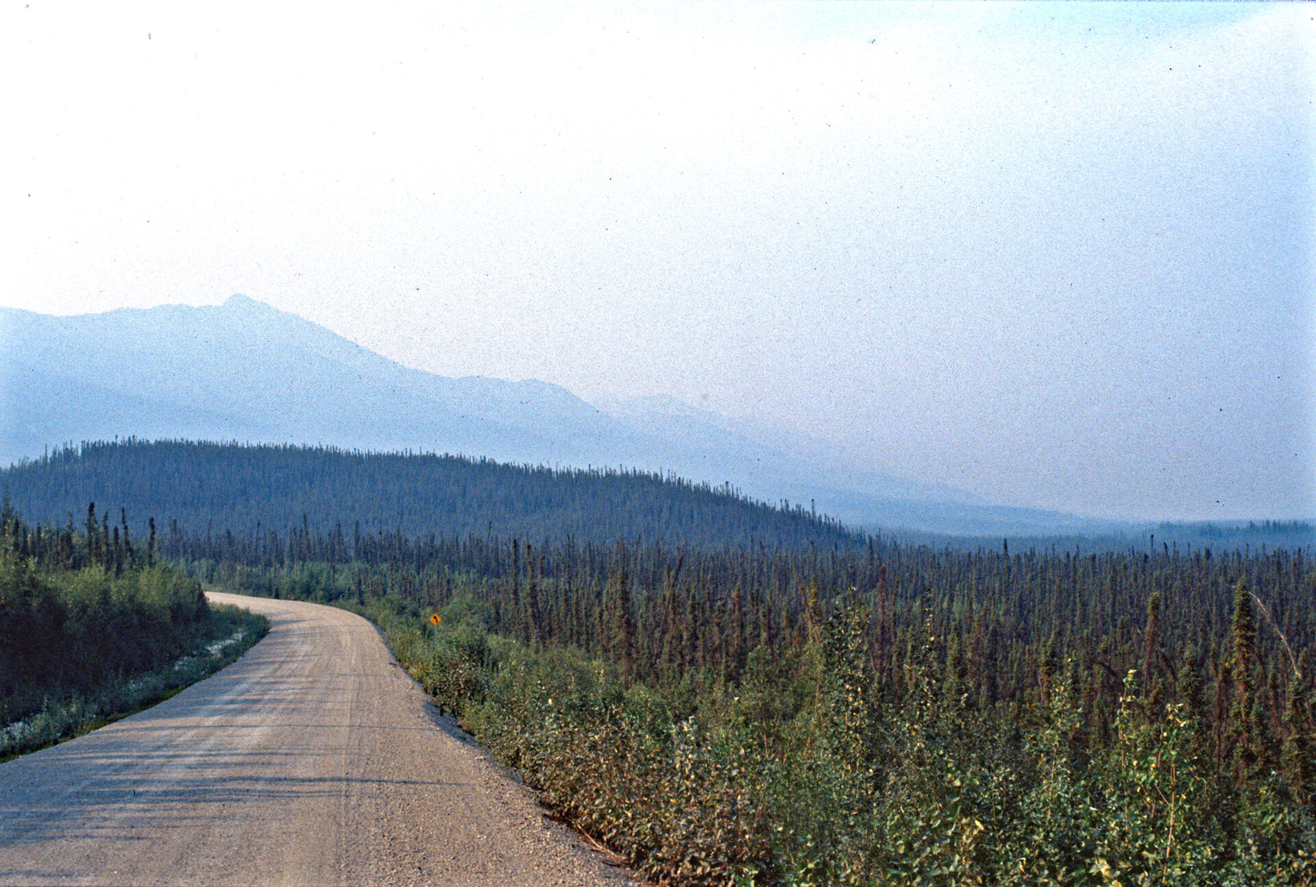
I have always found barrenness, whether desert or tundra, to be incredibly beautiful. I spent a winter in Death Valley, California during college, but the scenery on this drive was simply on another level. As I continued north, the air became quite hazy, eventually becoming as thick as pea soup, except it wasn’t fog. It was smoke from forest fires in the area. Back in Whitehorse, some of the locals had told me that the road had been closed recently because of forest fires.
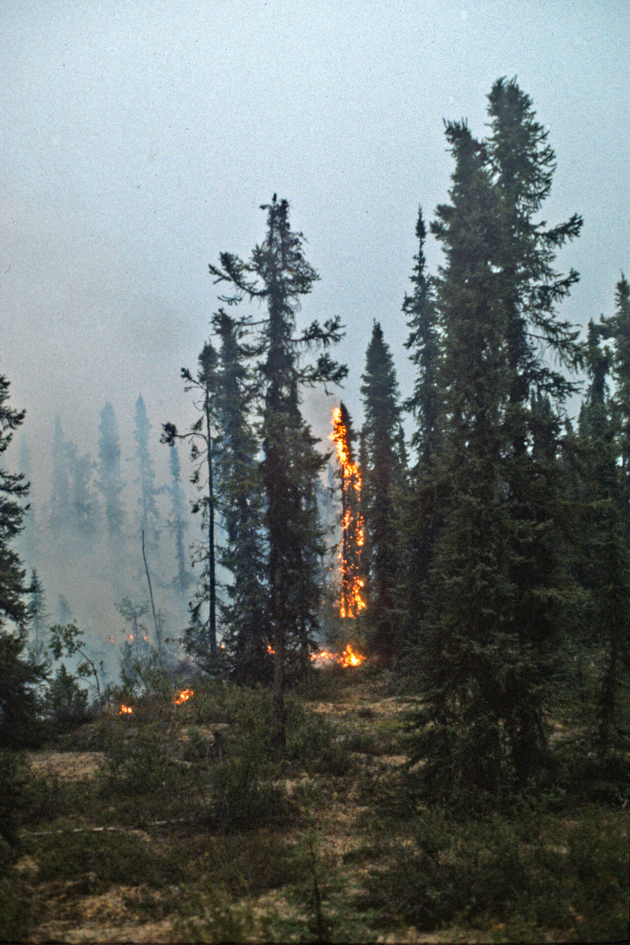
I was driving with the top down on the Jeep, and the smoke was thick enough that my eyes began to water. I briefly considered turning back, as I wondered if it was possible to suffocate from the smoke in such a wide-open area. It was 190 miles back to the start of the highway, and, as I was considering this, a car went by me traveling in the opposite direction, so I pressed on. The smoldering remains from the fire made this beautiful yet harsh environment even more eerie. I arrived in Eagle Plains a little after midnight, but still in full daylight for setting up camp.
Click here for Part Two: Beyond the Arctic Circle, On to Inuvik and the Arctic Ocean