Missed Part One? Click here.
Part Two
On to Inuvik
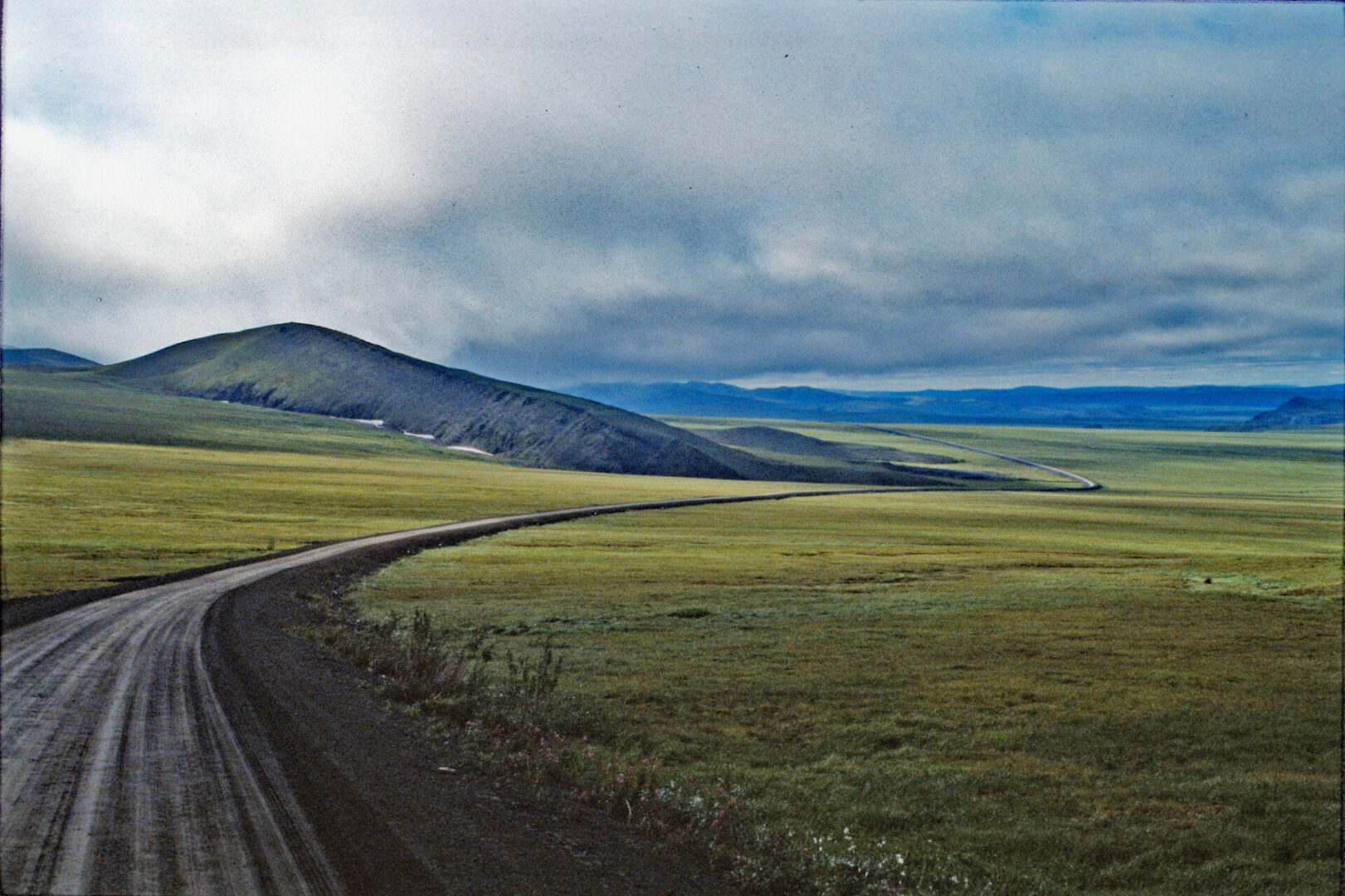
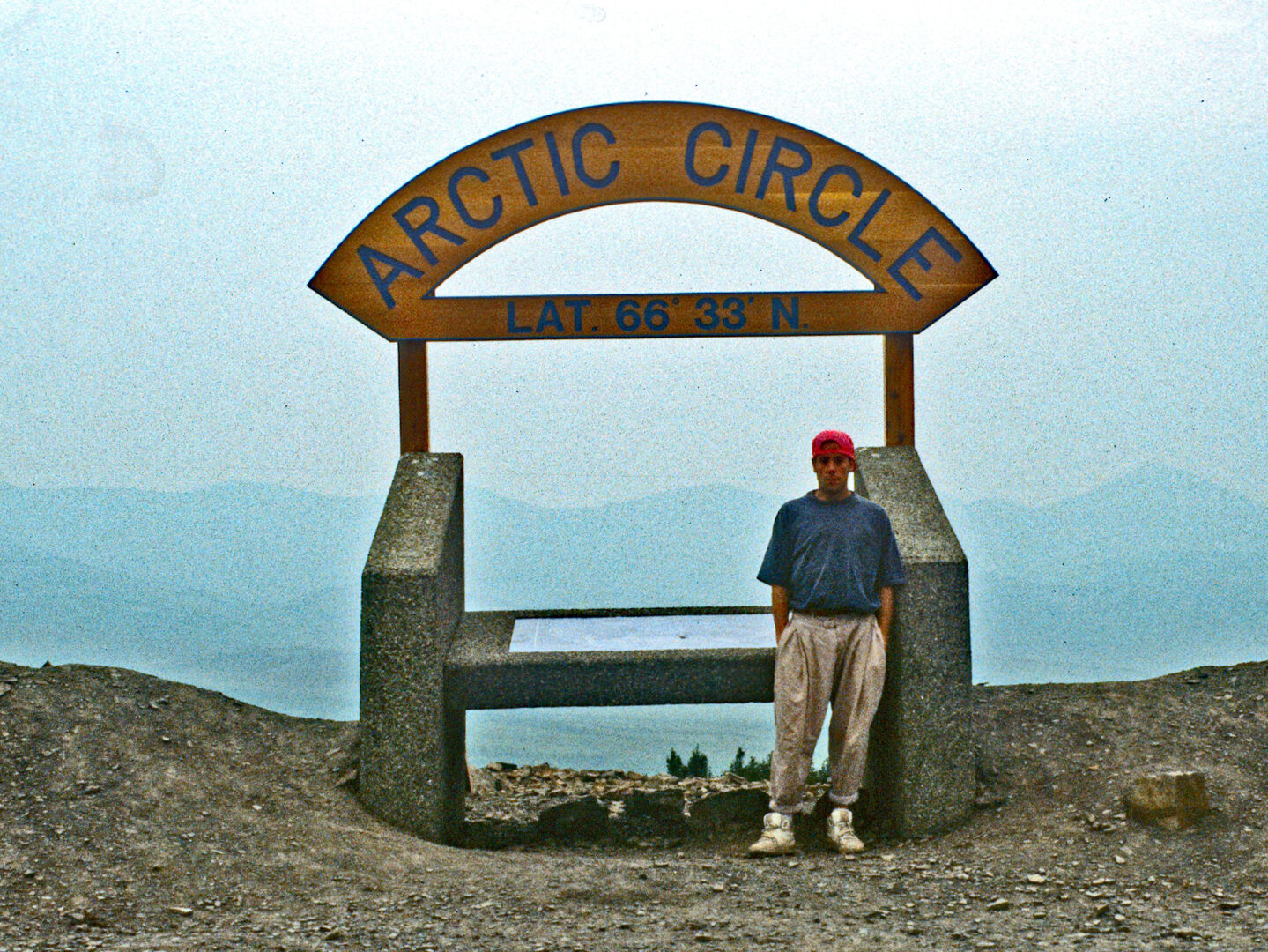
After filling the jeep with gas the next morning (for about $2.50 per gallon, when the normal price at that time was $1.20 per gallon), I set out on the final 230 mile stretch to reach Inuvik. Enroute, I crossed the Arctic Circle and then the Richardson Mountains before entering the Northwest Territories (NWT). The terrain in the NWT becomes decidedly flatter as it stretches north to the Arctic Ocean.
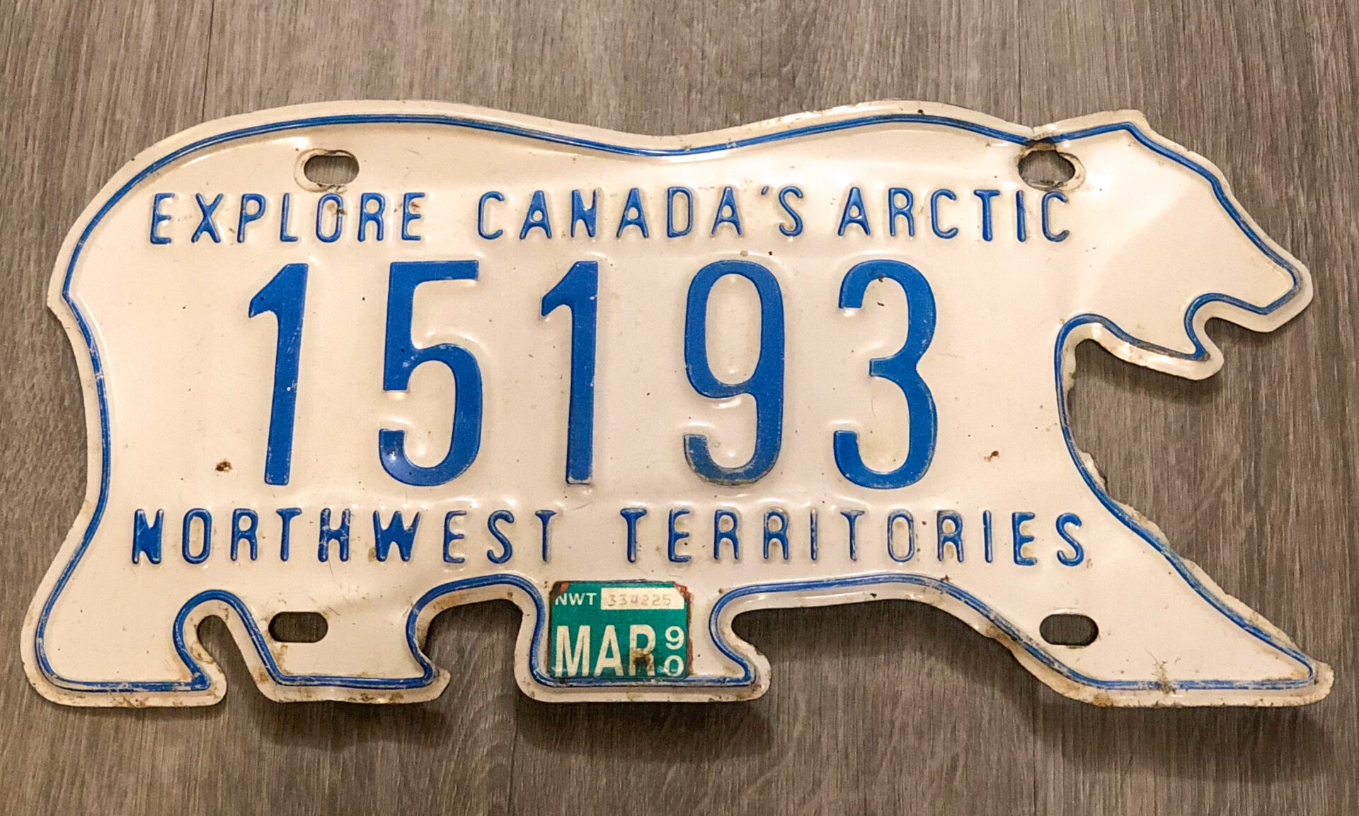
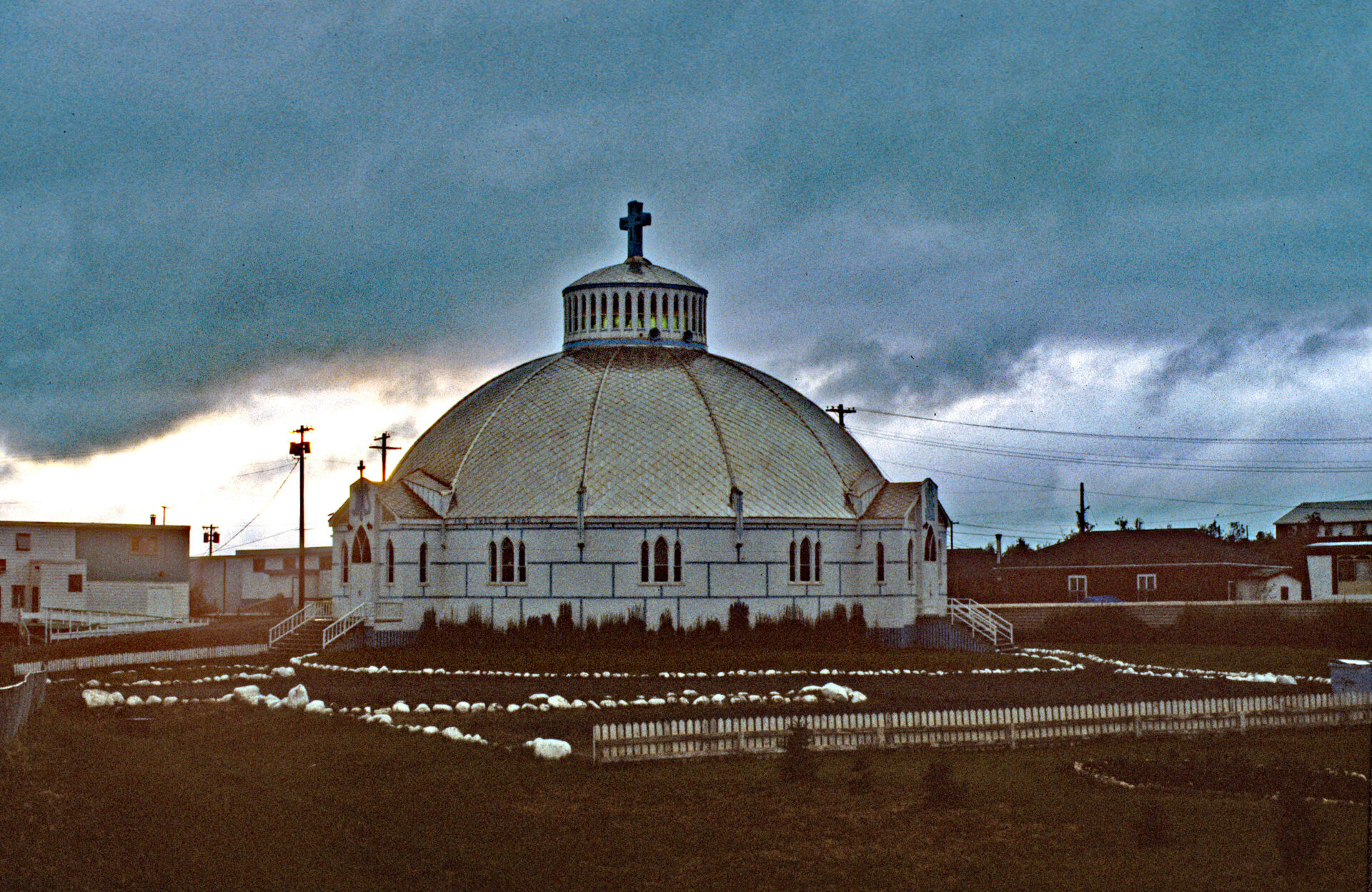
At the time of my trip, in 1990, the Northwest Territories included the territory now known as Nunavut (eastern half of the old NWT), it was established about a decade after my trip. At the time I was there, the total area of the NWT was roughly twice the size of Alaska, and it had a population of only about 57,000 people. The population of Inuvik was about 3400.
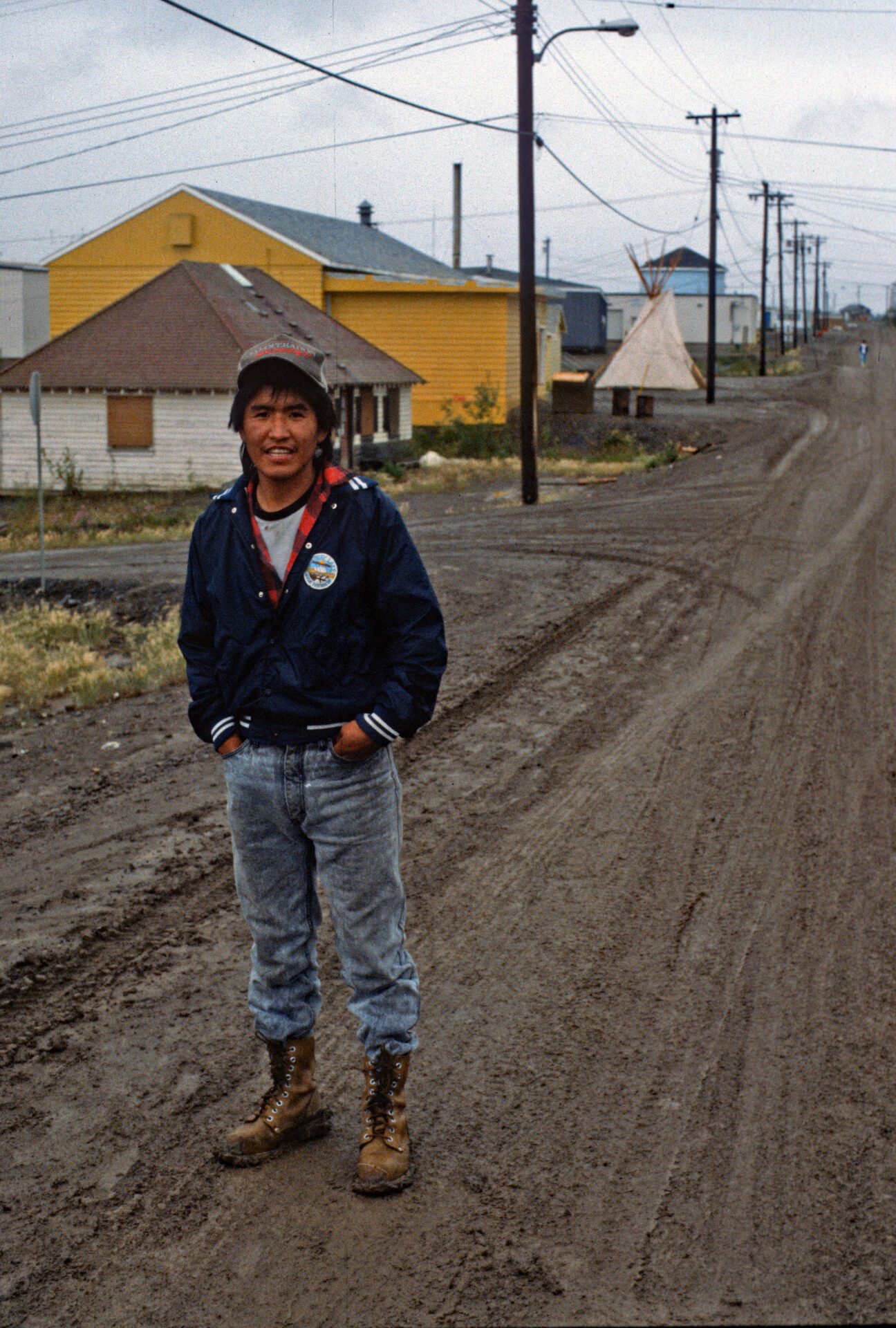
As I continued north toward Inuvik, I encountered the first of two ferry crossings, this one at the Peel River. Once across the river, I drove into the small town of Fort McPherson and walked around to explore. I met a friendly man who made his living as a fur trapper. We spent some time chatting with each other. His name was Justin and he was a Cree Indian, a tribe that is native to British Columbia. We talked with each other about the differences in our life experiences. The largest town he has ever visited was Dawson City in the Yukon, which, at that time, had a population of about 1000. He was fascinated by the size of the city where I live (the Minneapolis metropolitan area was about 2.6 million at that time).
After a full day of driving and the two ferry crossings, I arrived in Inuvik around 8 that evening. I found a campground in town and set up camp for the night. When I started this trip, I had no idea how expensive everyday things would be in these remote places, especially gas at more than twice the normal price. A fortuitous encounter would help to alleviate this problem.
Bacon, Eggs, and a Job
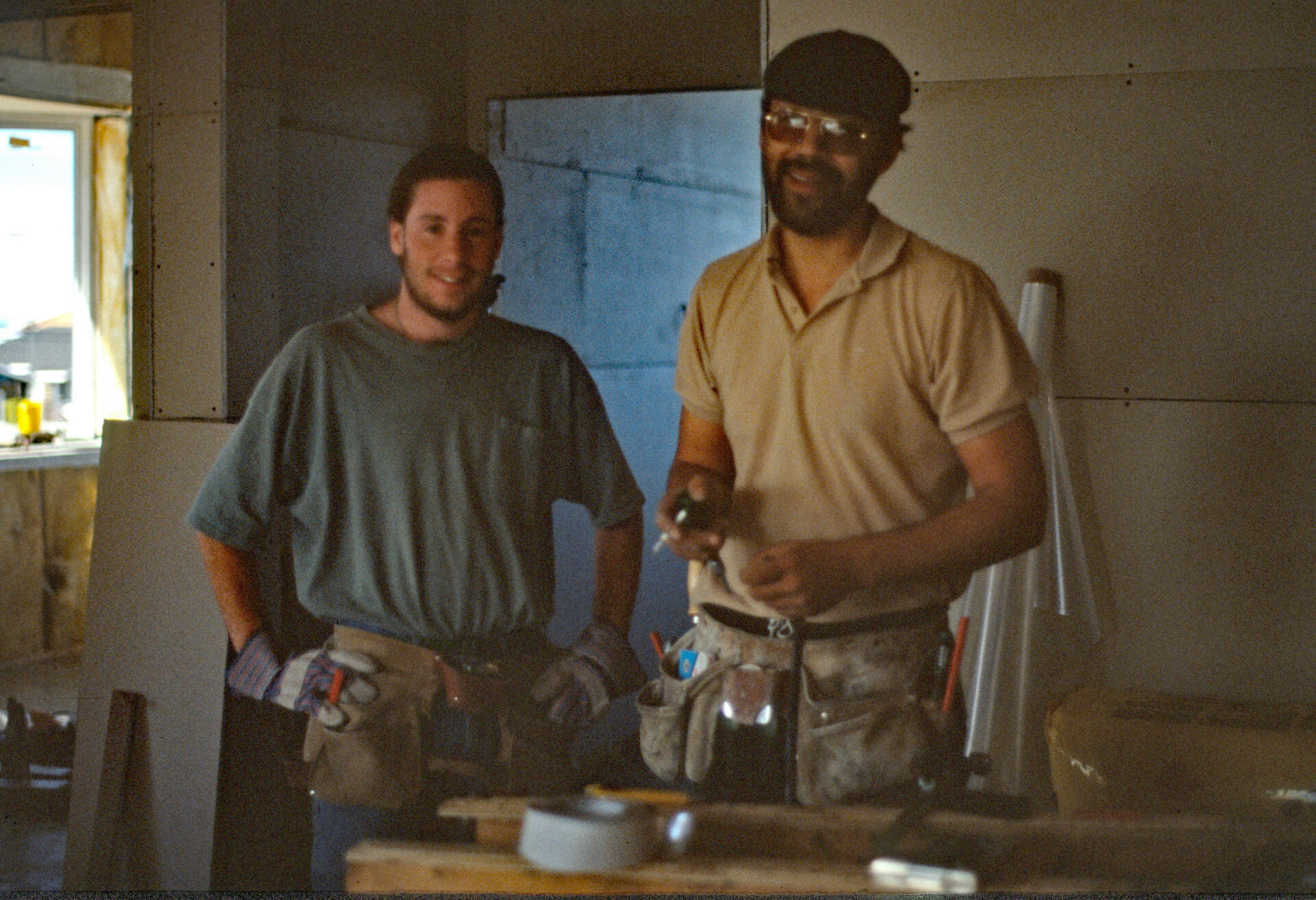
The next morning as I sat in a local diner looking at the breakfast menu, a guy at a nearby table turned around and said, “you lookin’ for work?” I wasn’t, but despite that I said, “what kind of work?” He told me he was building a new home and needed help drywalling. I agreed to go to work for him for C$8 an hour in cash, plus meals (This was Canada and I didn’t have a work visa, and for reference, the U.S. minimum wage at that time was $3.80.). I started that afternoon.
Even though I hadn’t planned to work, this turned out to be a lucky break that gave me the opportunity to shore up my funds for the trip. As mentioned earlier, my expenses were much more than anticipated because of the high prices for gas and other everyday items in these remote locations. For comparison, at that time, a single 4-foot by 8-foot panel of sheetrock was roughly $20 in Inuvik. That same sheetrock would have been about $2 from a lumber supply store back in Minneapolis.
I showed up for work and Jeff, the owner of the new home, introduced me to my supervisor. Fraser was a 29-year old with no permanent address who moved around the NWT finding work as he went. He had just been released from 5 months in prison for injuring someone in a bar fight the previous winter. Even though he was my supervisor, let’s just say his attendance at work was a wee bit unpredictable.
Sunglasses at 2am
After about five days of working together, Fraser and I met for a beer after work at the local watering hole, the Mad Trapper Pub. It was slightly strange to come out of a dark bar after midnight and need to put sunglasses on to drive home! Writing letters and new entries in my journal by daylight became my routine each night between 1am and 2am.
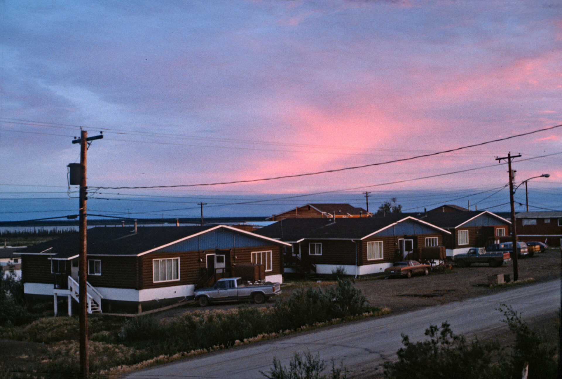
After leaving the bar, I drove up the road to a spot that overlooks the town and the expansive horizon to watch the sunset. By about three days, I missed my goal of arriving in Inuvik before the sunset for the first time since May. The sun would set around 2am and rise again at 4am; so, it just dipped below the horizon for a few hours and never got completely dark.
North to the Arctic Ocean
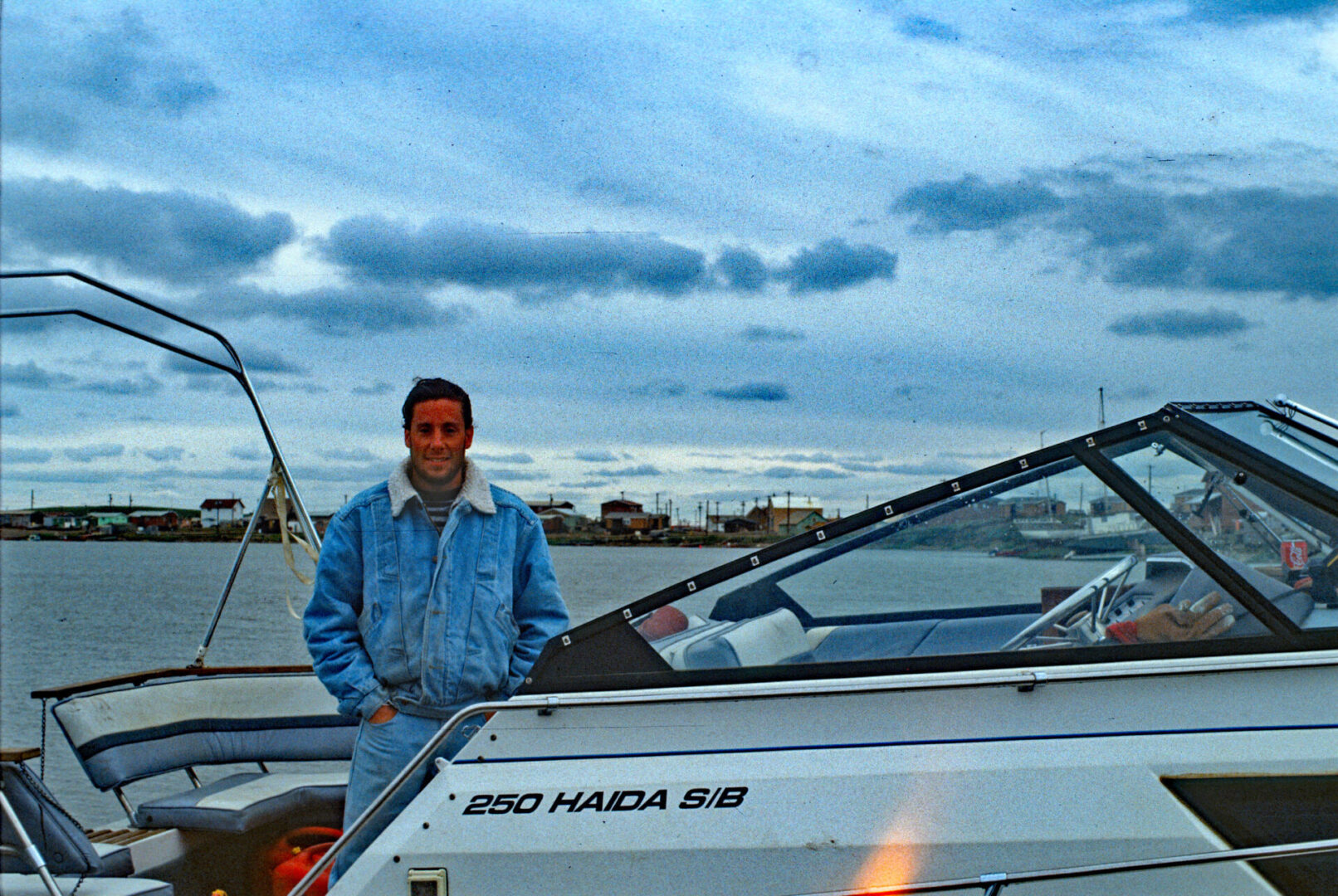
After several weeks of working on the construction site, I asked for a day off. My plan was to venture a little further north to the Arctic Ocean. Inuvik was as far north as I could drive, but the Arctic Ocean is just 100 miles further north. There is a small town on the Arctic Ocean, just beyond the mouth of the Mackenzie River called Tuktoyaktuk – the locals call it Tuk for short. At that time, the only way to get there in the summer was by boat on the Mackenzie River, or in a small prop plane.
During the winter, they used to build an ice road on the river for cars and trucks to travel (the basis for the television show Ice Road Truckers), but in 2017 that was permanently stopped when the Inuvik-Tuktoyaktuk Highway was completed. With some help from the folks I had gotten to know in town, I was able to hire two people to take me by boat up the Mackenzie River to Tuktoyaktuk.
The boat trip should have taken about 5 hours, but ended up being well over 6 hours. Neither member of the crew was very familiar with the river in that area. It turns out that the river gets extremely shallow in places, and at higher speeds it’s easy to beach the boat on shallow sand bars. That happened twice, but fortunately we were able to drag the boat off of the sand bars and get on our way again.
Pingos and No Trees
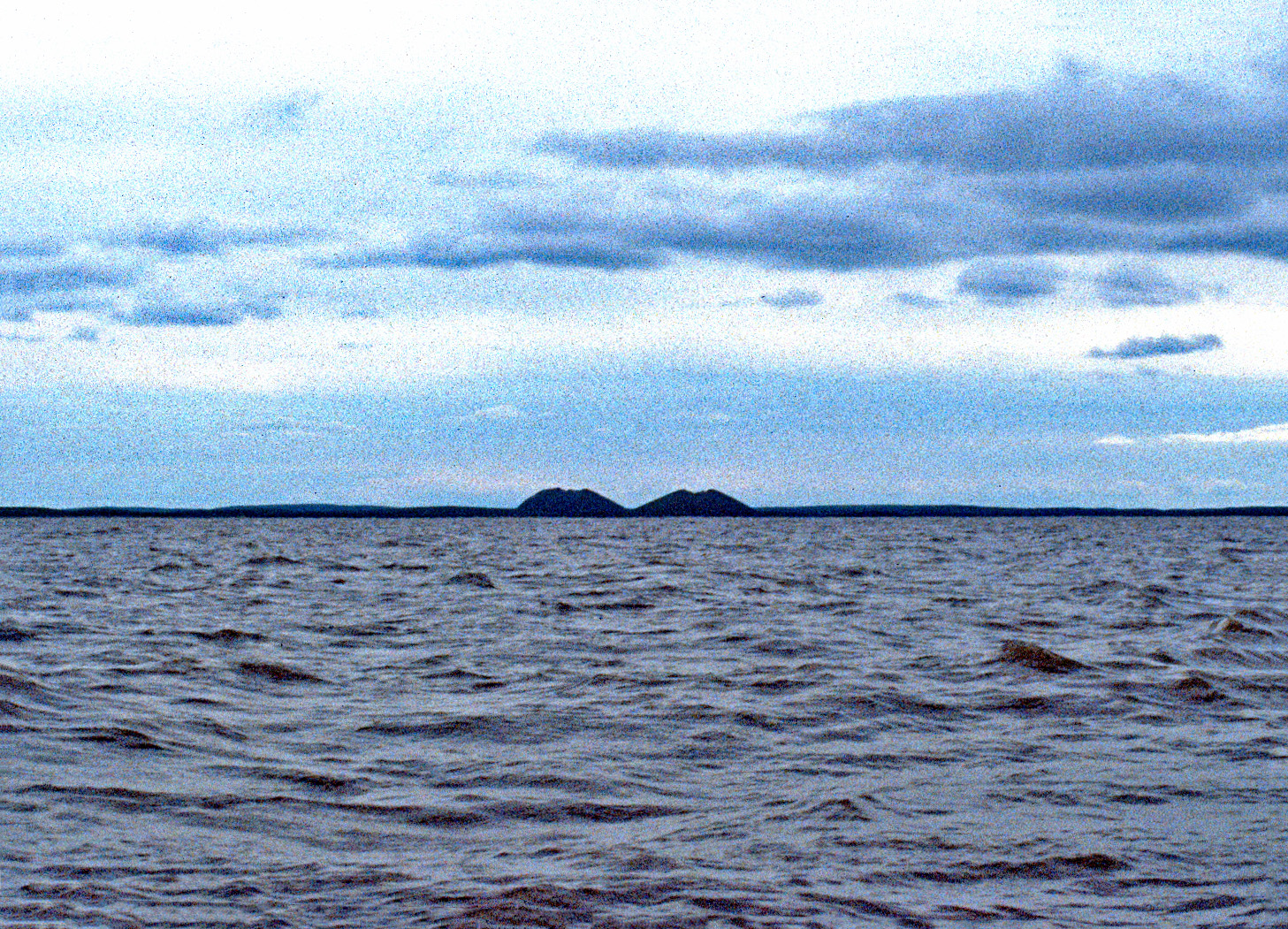
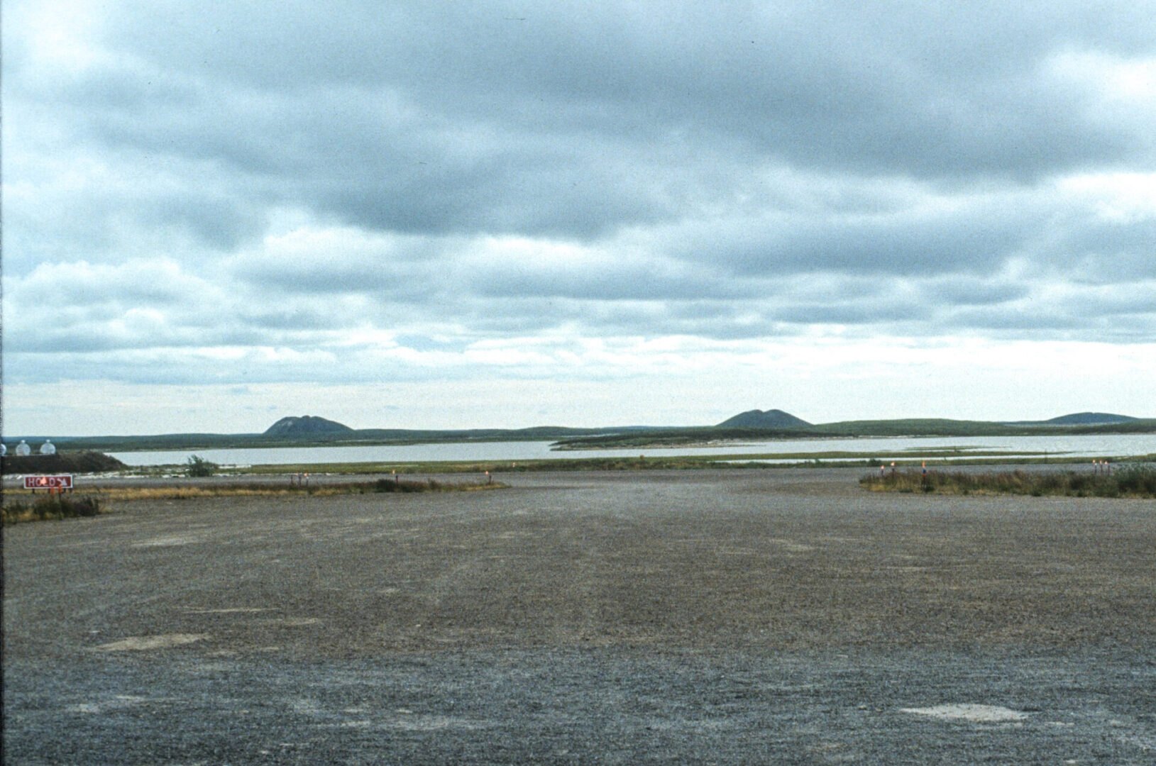
A little more than halfway up the river, we crossed the tree line even though we were at sea level. The weather is severe enough for most of the year that the environment is too inhospitable, and no trees can grow. This is also the area where Pingos start to appear. These are landforms created by water that is trapped between the permafrost and the sediment covering it.
When the water freezes in winter it heaves the sediment upward. Pingos can reach several hundred feet in height and more than a half mile across. They are found in other areas of the world where tundra exists like Alaska, Siberia and Greenland, but the greatest concentration of them is on the Tuktoyaktuk Peninsula. It makes for an odd and barren landscape.
The Inuit, Cold War Relics, and Polar Bears
As we reached the mouth of the Mackenzie River, the trip got decidedly rough from the waves of the Arctic Ocean. This part of the ocean, known as the Beaufort Sea, is frozen ten months out of the year, and only thaws for boat travel in August and September.
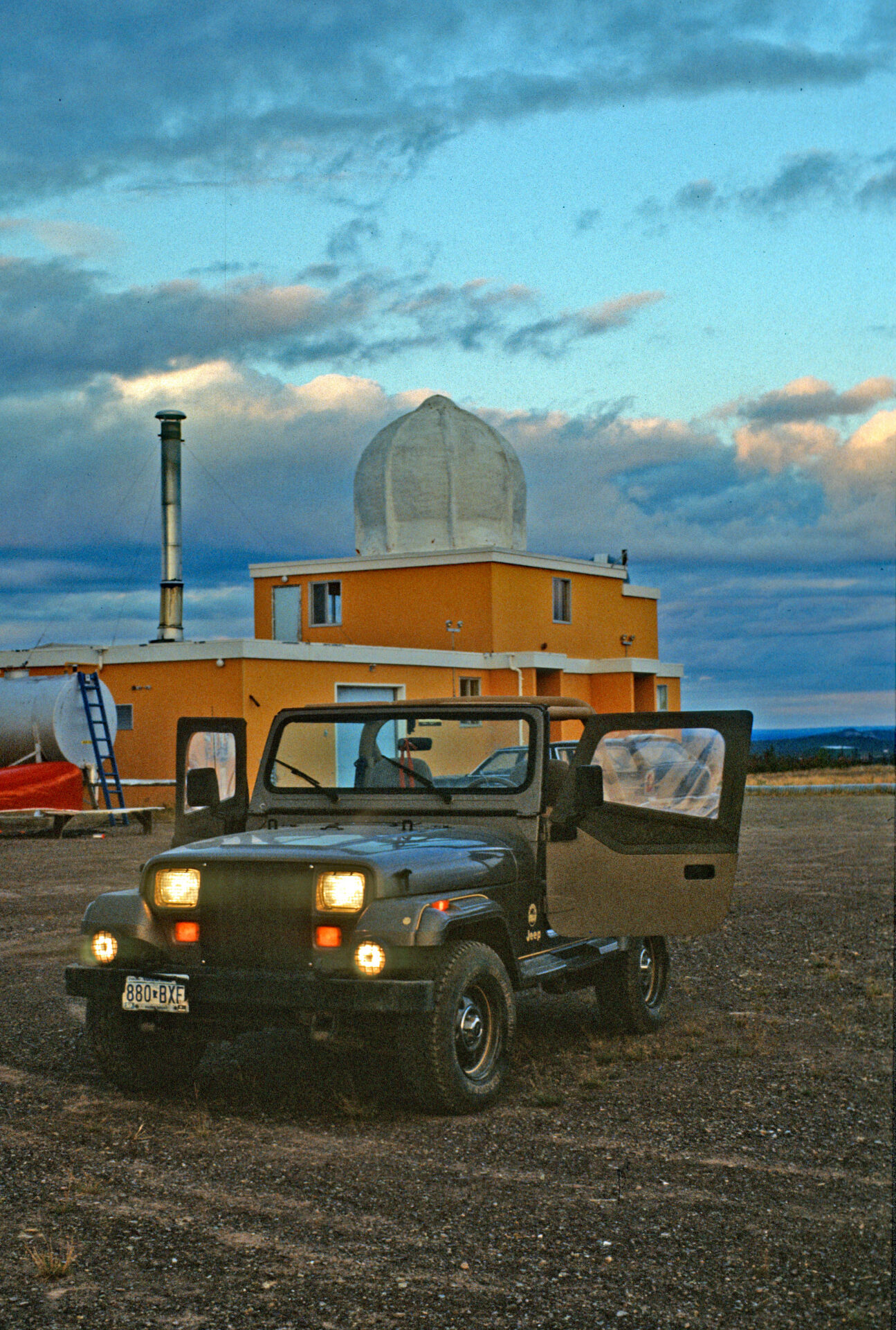
The crew docked the boat in Tuk, we said goodbye, and I began exploring the town. At that time, Tuktoyaktuk had a population of a bit over 900 people, mostly native peoples, known as the Inuit, but it also had a mix of oil & gas workers, as well as civilians and military personnel operating the DEW line. The Distant Early Warning system, also known as the DEW line, was a network of radar stations that extended from northern Alaska, across arctic Canada, all the way to Greenland.
Established in the early 1950s before satellites, it was jointly operated by the U.S. and Canada. It was designed to give early warning of encroaching Soviet military aircraft coming over the polar region. The radars, housed in large white geodesic domes, have an otherworldly look to them, particularly juxtaposed against such an otherwise stark landscape.
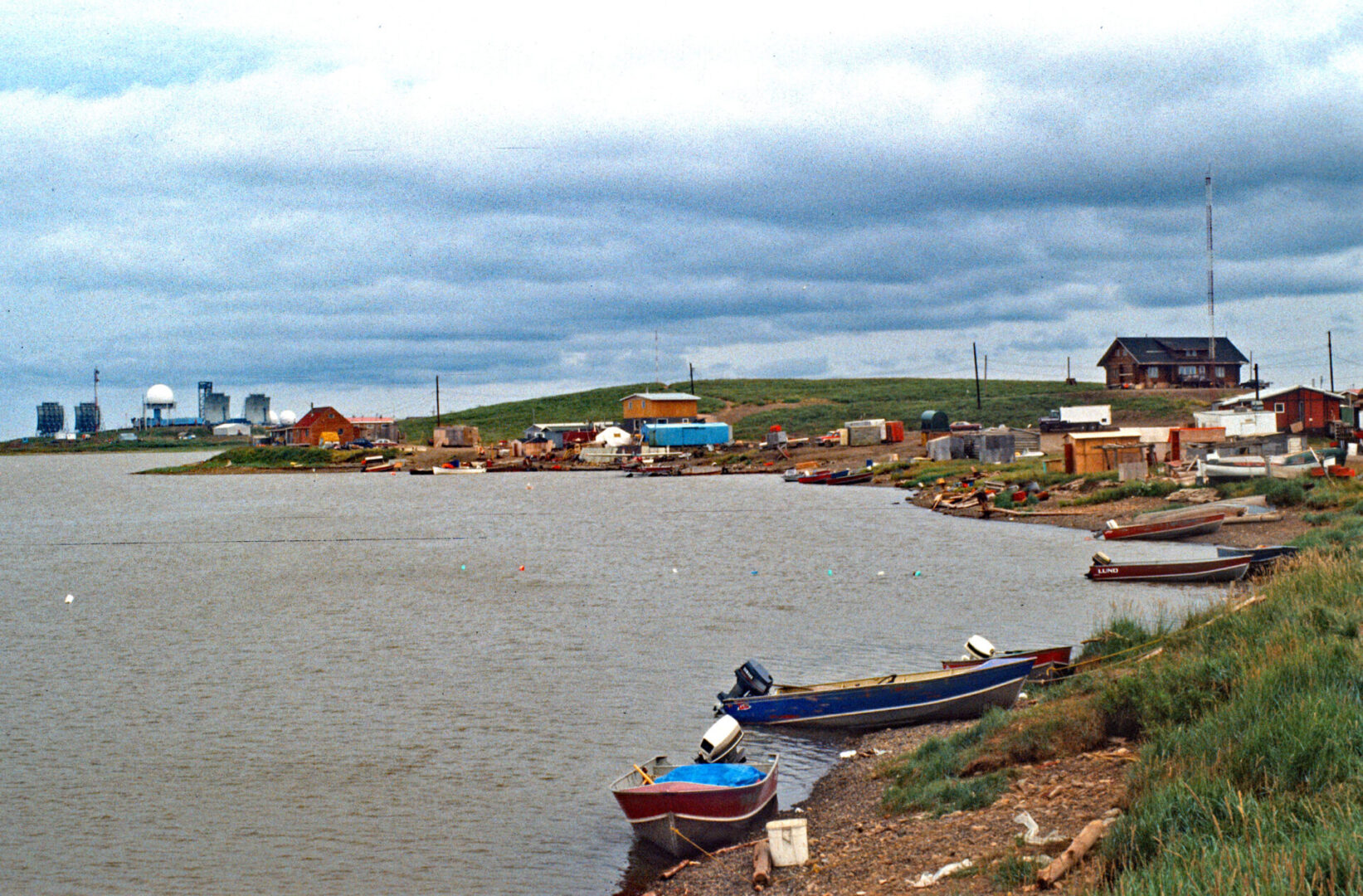
Polar bears can wander through town especially when the Beaufort Sea is completely frozen, which as mentioned earlier, is about 10 months of the year. Residents have to be very careful as Polar bears are apex predators, meaning they are at the top of the food chain, and have no natural predator. As a result, they have no fear of humans!
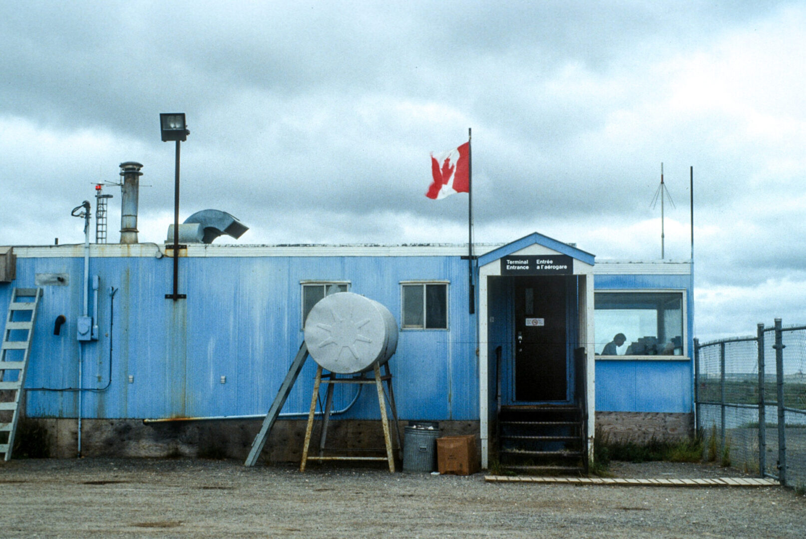
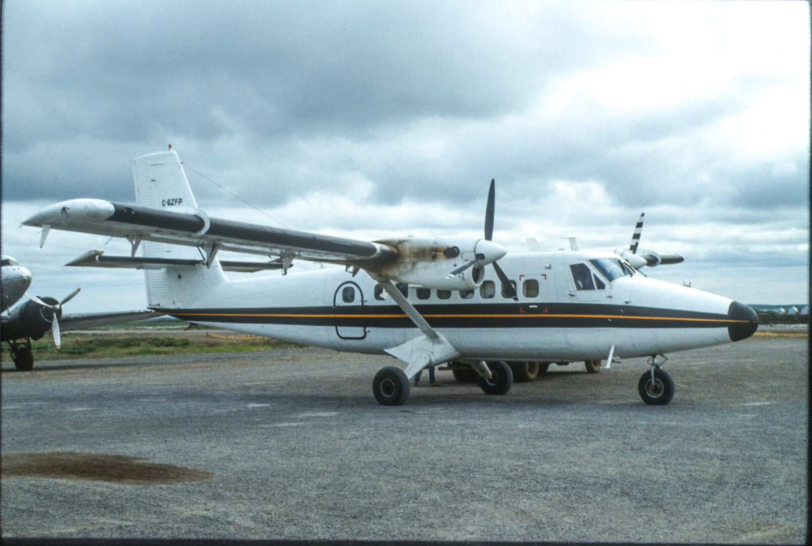
A typical high temperature when I was there in early August is low 50s. The average daily temperature for the year is 14°F! I spent that afternoon and early evening wandering the town and chatting with a few of the locals, before checking in at the airport and boarding a puddle jumper plane for the very short flight back to Inuvik.
Coming next in Part 3: South to Alaska